
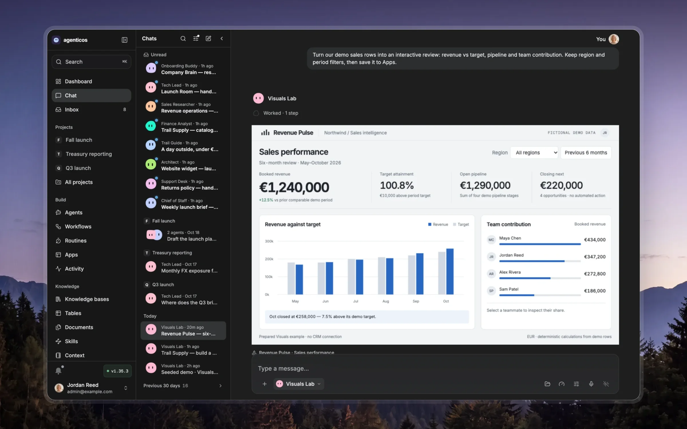
Make the result useful before making it elaborate
Choose the medium for the person's question: prose for a direct answer, a table for exact comparisons, a chart for a quantitative pattern, and an interactive visual when changing a control teaches something. A reusable App or deck needs an audience and purpose beyond this chat.
Lead with the conclusion or the decision. Build a visible hierarchy, use restrained color, readable type and consistent spacing, and fit both phone and desktop. Label units, source evidence and uncertainty. Keep controls relevant and make their consequences visible. Prefer one clear idea per view or slide over a dense dashboard.
Use the active tool description as the authority for input format, supported libraries, runtime limitations and publication. Do not infer another environment or copy unsupported API parameters from an example. Reuse the available templates when they fit, adapting content and composition to the task.
The optional resource references/design-recipes.md contains detailed design examples and template guidance; read the section needed for the chosen medium rather than loading every recipe. Current tool contracts win over older implementation examples.
For an interactive explanation, choose a control whose change reveals a relationship. Preserve a useful initial state, label the changed quantities and make reset predictable. A spatial scene needs a meaningful camera, depth and labels; decoration alone does not justify 3D.
Render and inspect the result. Check readability, overflow, contrast, interactions, sources and the intended audience's access. Repair concrete defects before presenting it. Link the real artifact and describe what the person can try; do not call an unrendered draft verified.
Maps that render without setup
Use AOWorldMap.draw with the bundled country outlines by default, for itineraries
and city-to-city routes as well as country data. Load d3, topojson, world-atlas and
the worldmap kit from lib/; set focus to the relevant countries. These are local
libraries, so the map needs neither a tile server nor an external network request.
Use Leaflet and AOMap.itinerary only when the administrator has enabled map tiles
(agenticos.map is configured) and street detail is useful. If those tiles fail,
render the SVG country map with the same pins and routes. A line between stops is
not a road route: do not invent directions, distances or travel times.